We were on a field trip!! See pics below:
Observation Station-
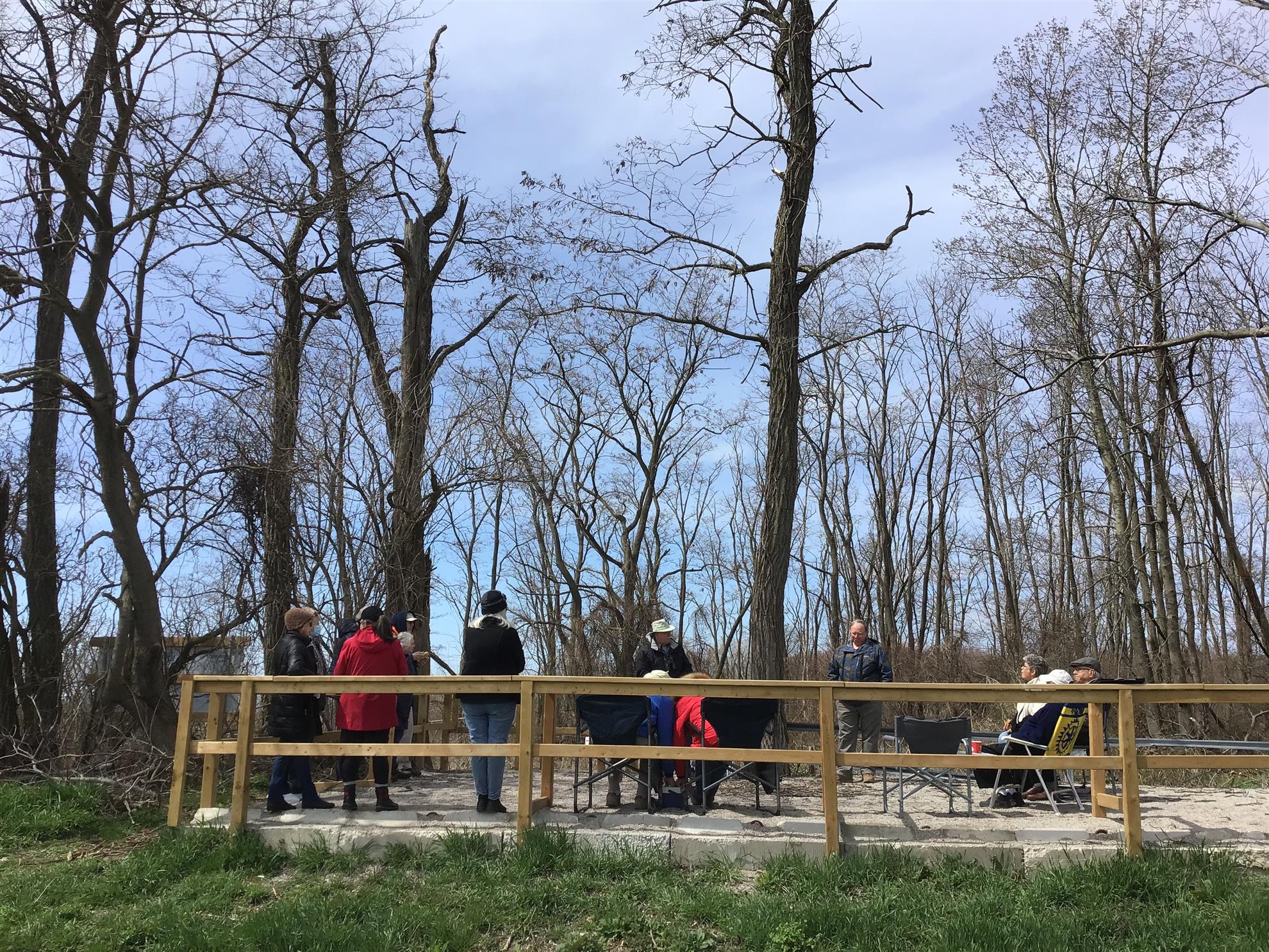
Al Hurst and Al Stone from the St Thomas Field Naturalitsts spoke to us from the Observation station-
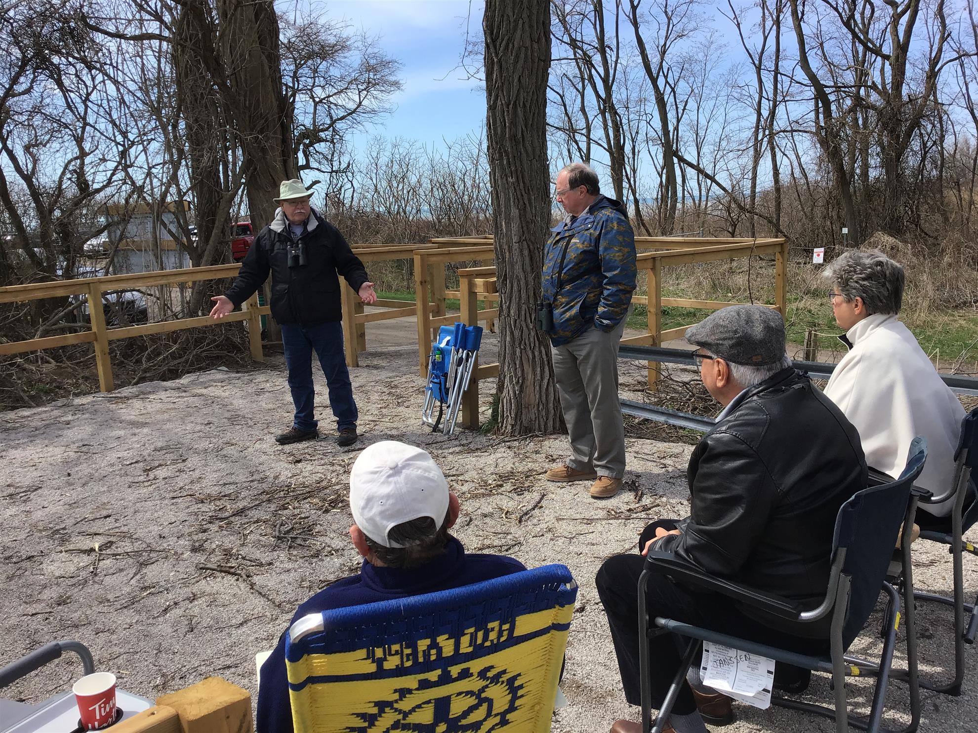
Al Hurst
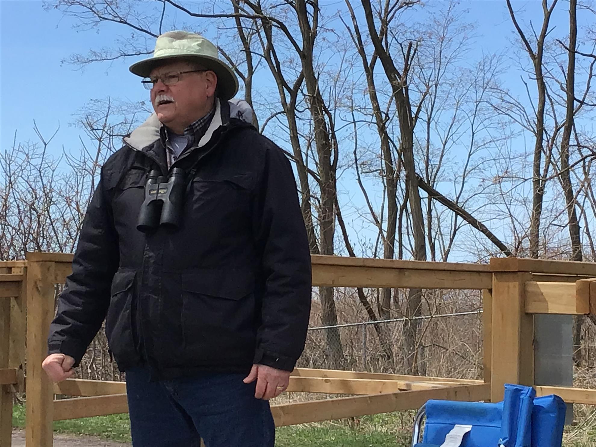
Al Stone

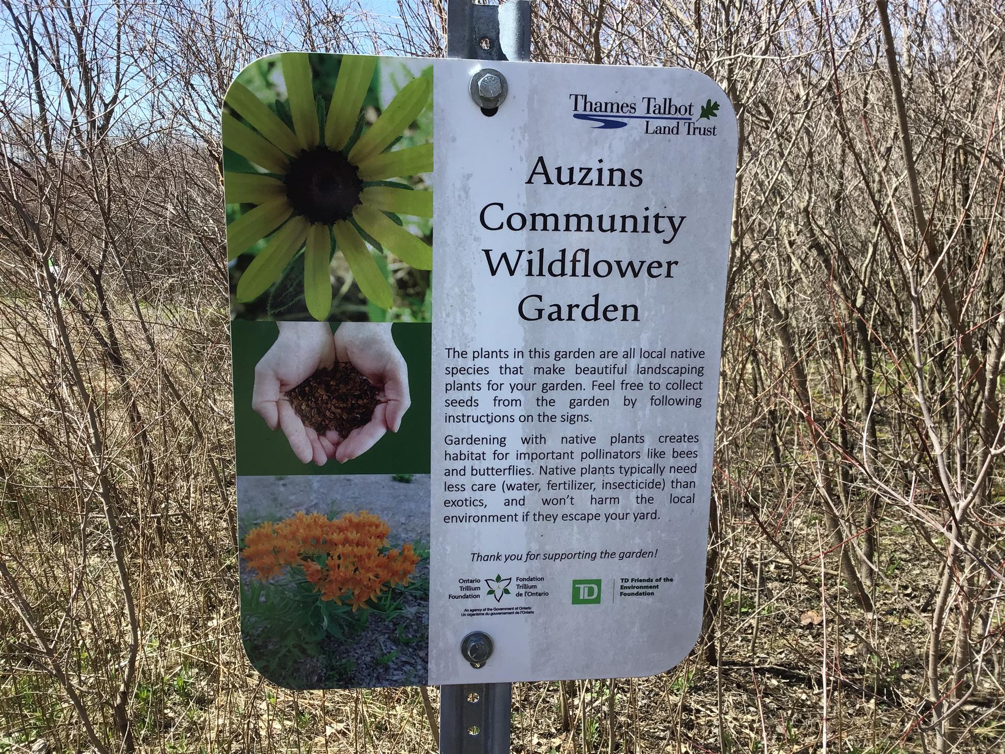
We toured the Wildflower Garden
Biggest takeaway is that The St Thomas Field Naturalists are part of a continental network of naturalists. They have proved that at least one migrating bird can be as least as old as about 17 years, because it's "band" has been tracked that long.
The following was provided by Malcolm Rust:
Location of Hawk's Cliff: South of Dexter Line, Central Elgin, at the intersection with Fairview Road. Hawk Cliff Road is a sand road 1.2km to the viewing area near the most northerly location on Lake Erie. The cliffs are 100ft high.
Hawk Cliff Raptor Banders formed in 1969 operate 6 nearby banding stations. Often up to 15
raptor species are seen daily in the fall. Typical daily sightings totals reach several hundred to a
few thousand birds. Some 342 different migratory species – raptors, waterbirds, shorebirds and
perching birds funnel through this area every year along the north shore of Lake Erie to cross
south at the Lake St. Clair /Detroit River, some heading south as far as Central America. Since
1974 information about the hawk migration has been forwarded to the Hawk Migration
Association of North America.
Hawk Cliff Hawk Watch – Raptor counters count daily from 8am-4pm from 1 September to 30
November. The counters and banders depend on wind direction with the largest flights mostly
on days with northwest and north winds, cloud cover helps with viewing the birds. Since 1974
the count information about the hawk migration has been forwarded to the Hawk Migration
Association of North America that was formed that year.
Hawk Cliff weekends – started in 1969 annually in September. Live raptor and monarch
butterfly demonstrations, informative talks and guided hikes through Hawk Cliff Woods.
Eva Visscher, Western University student and member of the St. Thomas Field Naturalist Club,
designed the colorful hawk identification board showing the history and the importance of the
location. She also has images of the birds of prey on the board to assist visitors in identifying
what they see.
St. Thomas Field Naturalists Club (1941-1943) disbanded because of the war, was formed again
in 1950 with goals to spread knowledge of natural history, protect wildlife, stimulate interest in
nature and preserve and protect the environment. The Club opened a new viewing platform in
October 2022 replacing a structure that had served birders since 1950.
Eric and Karen Auzins, philanthropists of London, funded the construction of the hawk counters
viewing platform. The Thames Talbot Land Trust now owns Hawk Cliff Woods with a very
generous donation from the Auzins to kick off the purchase campaign. They were formerly
very active in Rotary District 6330.
Auzins Nature Sanctuary, London. A 55-acre nature reserve consisting of both wetlands and
woodlands including a floodplain swamp along the Dingman Creek. Some of the upwards of 160
plants recorded at the ANS are rarely found in Ontario but thrive in this nature reserve.
Thames Talbot Land Trust’s vision is: - A network of permanently protected areas that are rich
in biodiversity, sustain life and nourish a sense of wonder and inspiration for all people. Its
mission is: - To protect, conserve and restore nature within Elgin, Middlesex, Oxford and Perth
counties, contributing to a stable climate, human wellbeing and healthy habitats for all species.
Hawk Migration Association of North America (HMANA) established in 1974, monitors count
data and site profiles of over 200 North American hawk watch sites. The data provides
indicators of long-term trends in raptor populations.
Raptors use warm air thermals rising from the earth to save energy for the long trip south and
therefore do not cross large bodies of water. Thermals can lift them up to seven or eight
thousand feet before the cooling air sends them streaming out to catch another rising thermal.
There are four major migratory paths birds travel in North America. They are the Atlantic,
Mississippi, Central and Pacific flyways.
The flyways follow topographical features of the United States in a north to south direction.
Food, shelter and an abundance of water make these routes ideal for migrating birds.
Our Atlantic Flyway follows the eastern coast of the United States and intersects with other
flyways at the southern part of South Carolina.